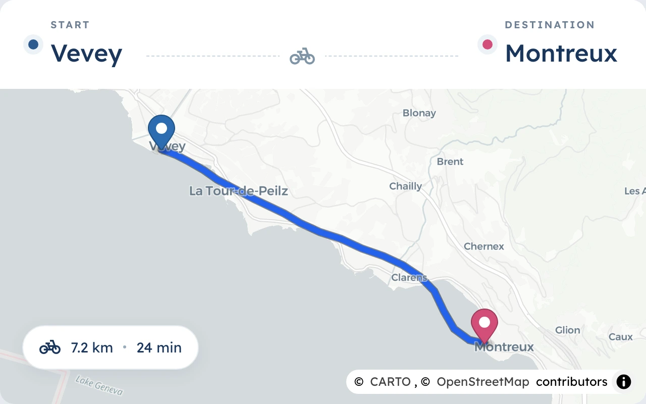
Set your route
Search start and destination, adjust it on the map, or import a GPX file.
Rain, temperature and wind for every section of your cycling route – right when you’ll be there. For the commute, the multi-day bike tour, the spontaneous loop and the hike.
Search start and destination, adjust it on the map, or import a GPX file.
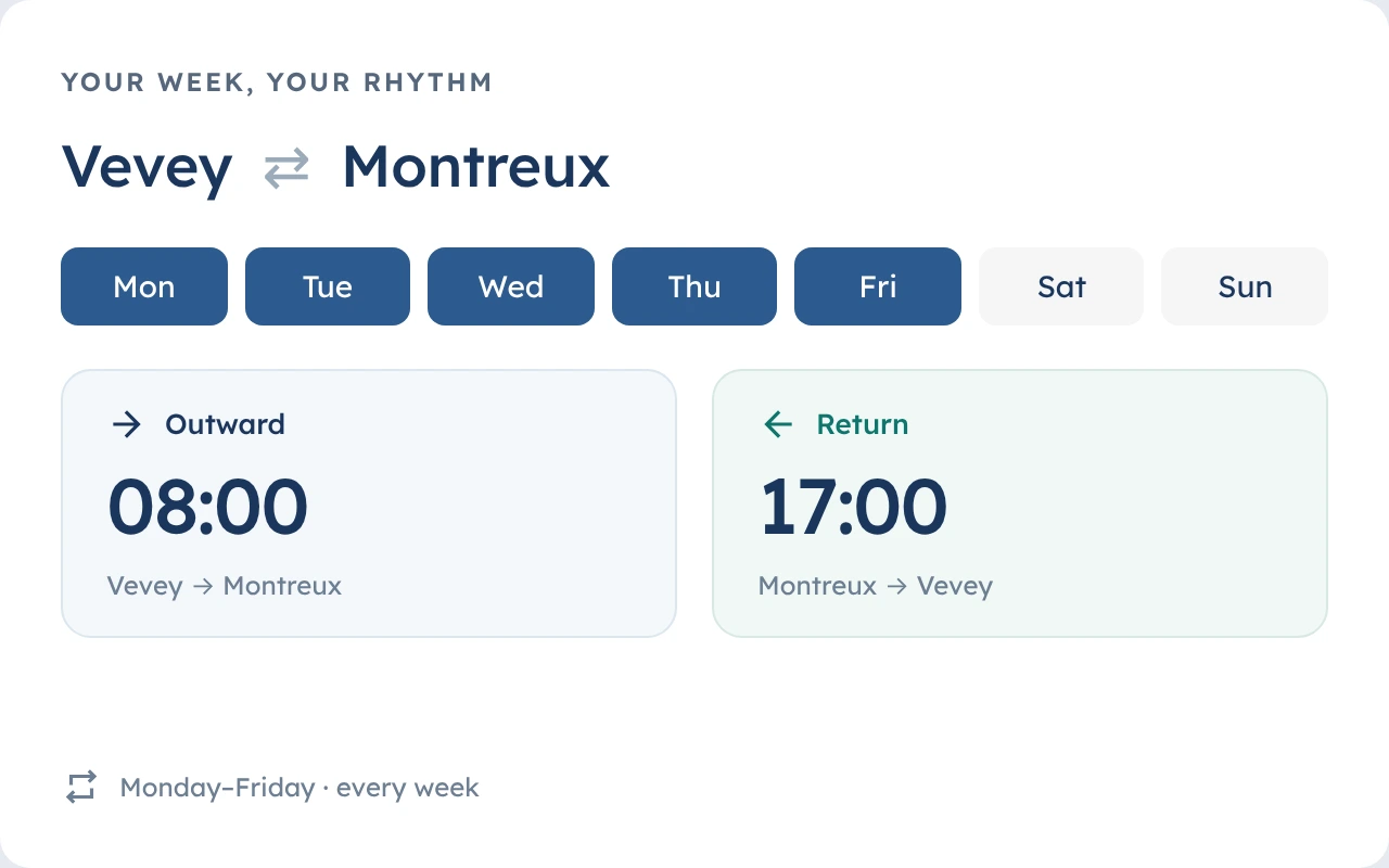
One-off or recurring by weekday – outward and return rides with their own times.
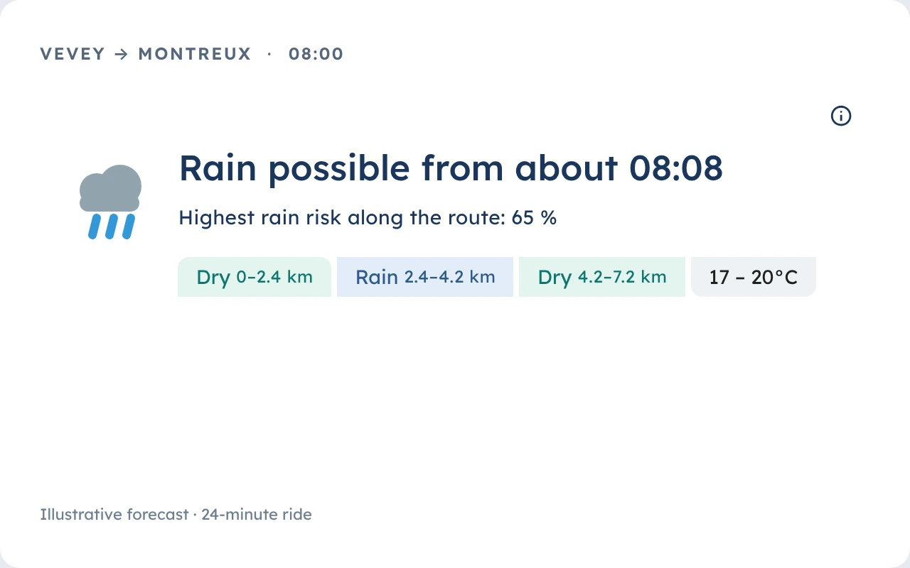
This is the weather summary: rain risk, temperature and wind for every section – right when you’ll be there.
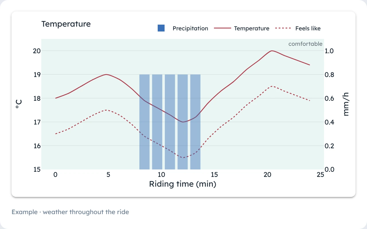
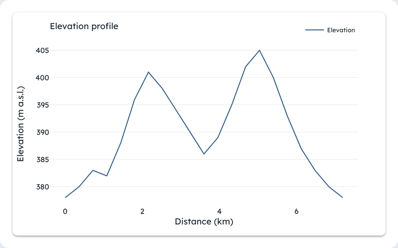
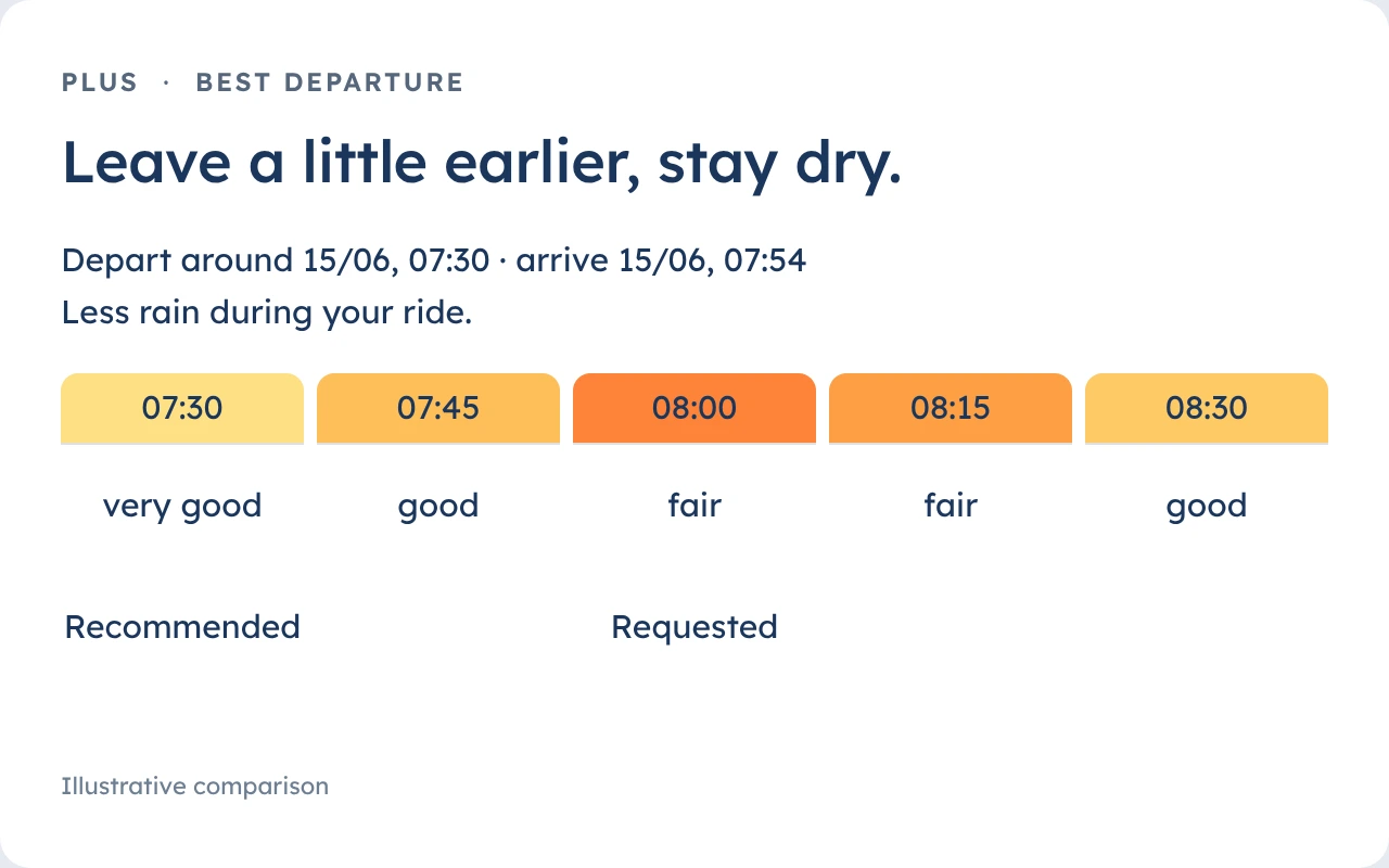
The weather summary is just one part of your forecast. Charts show how temperature, rain and wind change along the way; the elevation profile adds the terrain. With Plus, MeteoLane also compares departure times and suggests the best one.
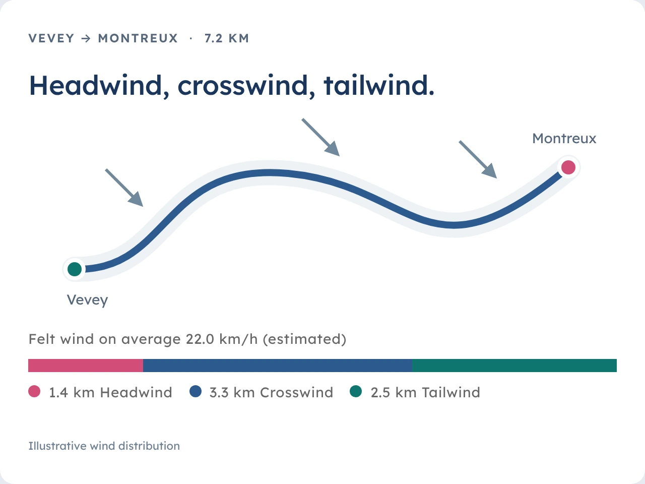
“Wind from the south-west” tells you little: what matters is where it hits you from. MeteoLane works out headwind and crosswind for every section of your route, from the direction you ride there, and shows the wind effort as a level – from low to very high. Headwind slows you down, tailwind pushes: that goes into your riding time, and so into the weather you’ll meet on the way.
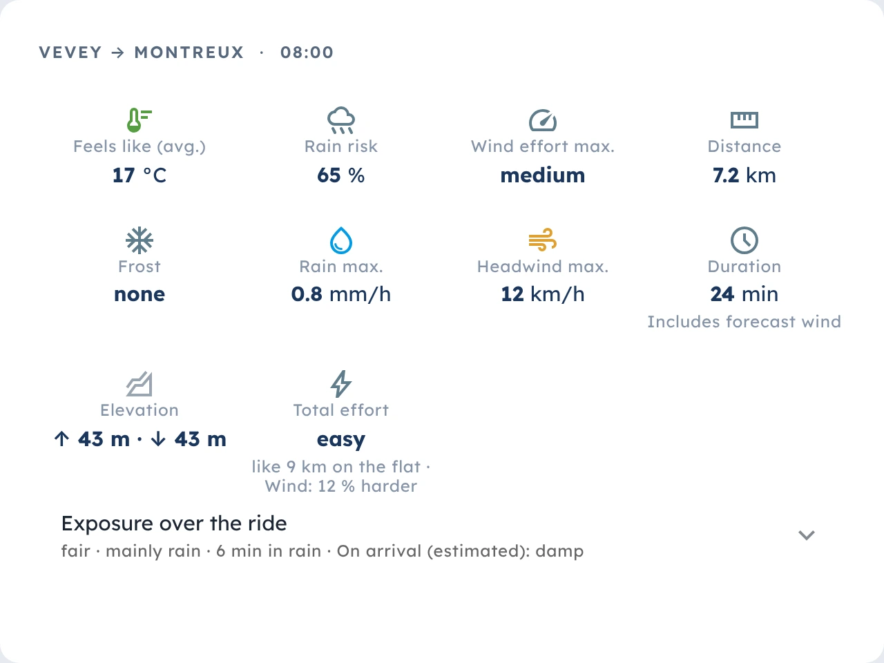
The key figures sum up the ride: the temperature you feel in the wind, frost on the road, climbing, and the total effort – climbs, rolling resistance and wind together, expressed as kilometres on the flat. Plus the exposure over the whole ride: how long it rains and how wet you arrive.
Besides recurring routes, MeteoLane plans trips over several days and rolls the dice on new loops – on foot as well as by bike.
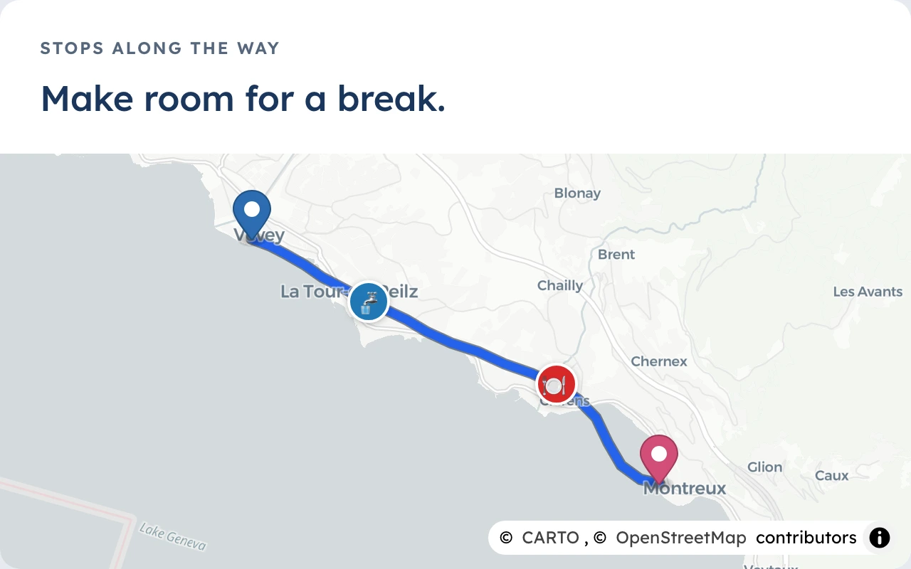
Start, destination and a limit per day: MeteoLane splits the stages, plans breaks at drinking water or food, and finds a place to stay at the end of each day.
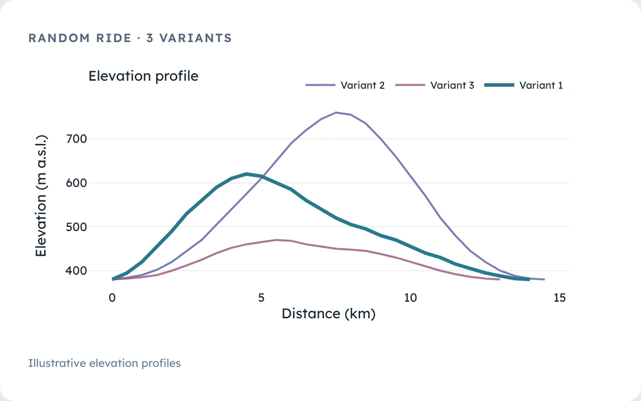
Pick a length and a direction: MeteoLane suggests loops or the long way round to your destination. Compare the elevation profiles and save your favourite as a route.
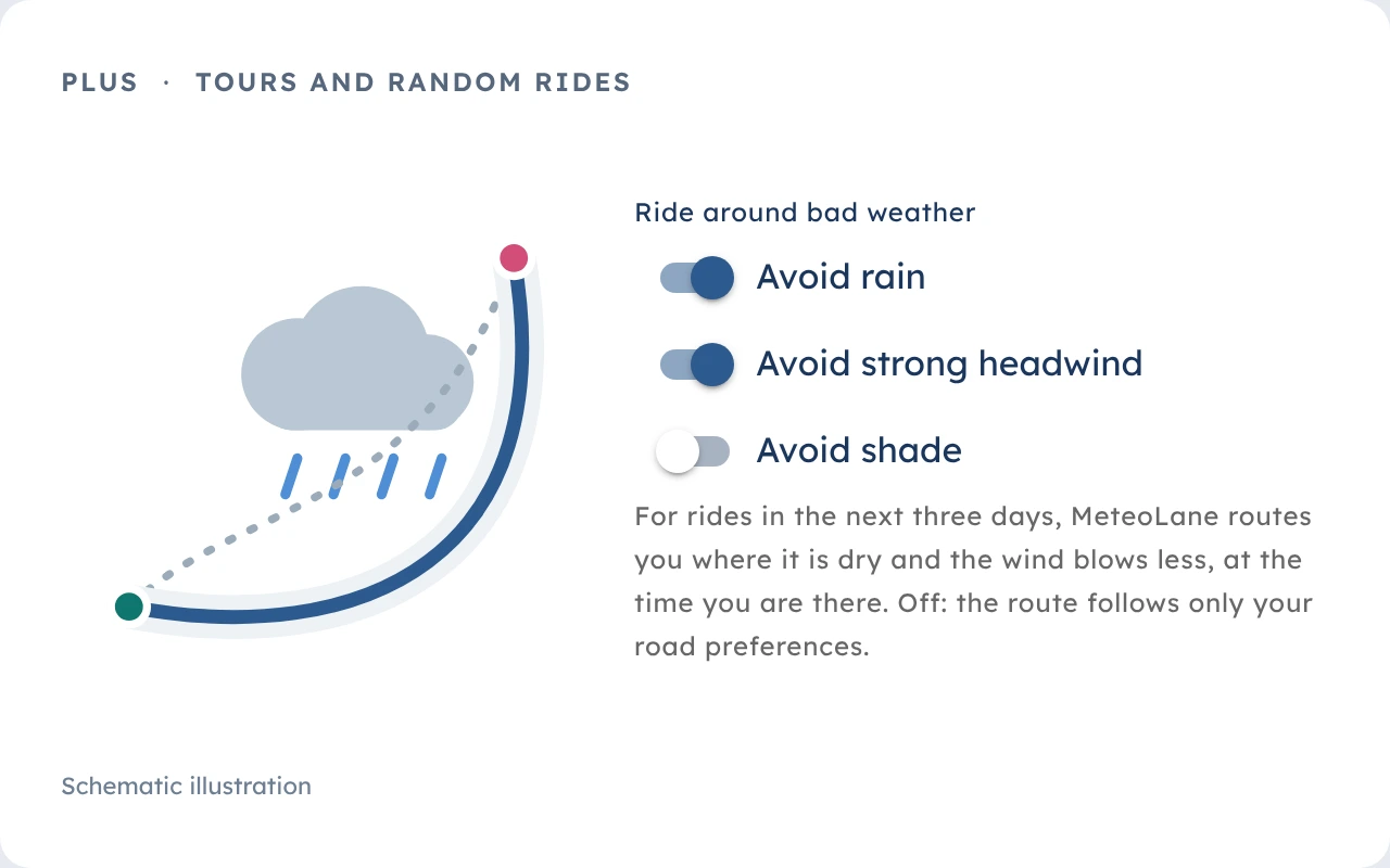
For journeys and random rides in the next few days, MeteoLane can route you where it’s dry, the wind blows less or the sun shines – if you ask it to.
Hiking too: with the hiking profile, MeteoLane works in walking time, shows gusts instead of wind effort and estimates the effort from the energy cost of walking.
Under “Explore”, riders share their favourite routes, with elevation profile, photos and what lies along the way: drinking water, toilets, cafés, shelters. Filter by region and stop, open a route and plan the weather for your own departure.
For the commute and your first trips.
Includes:
For everyone who rides often and far.
Everything in Free, plus:
In the areas listed under “Coverage”: that is where MeteoLane plans routes and finds places. If yours is missing, you can vote for it on the same page. See the covered areas
Not for planning: the line, the elevation profile and the GPX export need no sign-up. The weather forecast and saving a route need a free account. Plan a route without signing up
Yes. Besides bike, e-bike and fast e-bike there is a hiking profile – for routes, journeys and random rides.
Yes. Published routes appear under “Explore routes”, with photos and comments. The start and destination stay hidden behind a privacy zone, and photos are stored without the camera’s location data.
From Open-Meteo, with MET Norway (yr.no) and OpenWeatherMap as fallbacks. Missing or incomplete data is always labelled as such.